Water Main Project
(Eagle Knob Point to Leslie Lane)
Lake Mary, Florida

Client
City of Lake Mary
Location
Lake Mary, Florida
Related Services
Associated Tasks
Topographic Survey
Digital Terrain Model
Tree Survey
Right of Way Survey
Property Line Survey
Construction Benchmarks
AutoCAD Civil 3D Files
Water Main Project
(Eagle Knob Point to Leslie Lane)
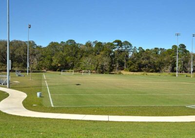
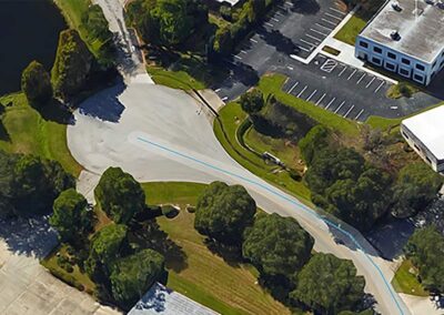
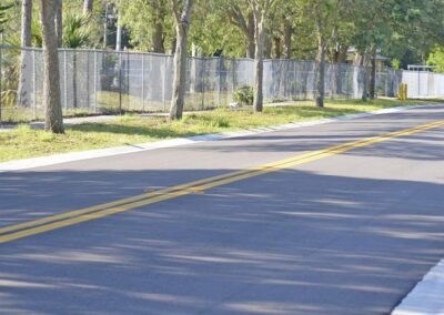
A topographic survey was completed for the engineering and design of a proposed water main to connect up two existing platted subdivisions. The total length of survey was approximately 1000 linear feet.
The topographic survey included the horizontal and vertical spatial relationship of the above ground man made or natural features lying within the limits of the survey. A digital terrain model (DTM) was completed in AutoCAD Civil 3D as part of the topographic survey and included one-foot contours. As part of the topographic survey, all existing trees having a diameter or 6” or greater were located with a label denoting the tree type and size.
All existing above ground utilities such as fire hydrants, water valves, pedestals and transformers were located. Existing underground utilities, drainage and sanitary sewer were also located. Two test holes were completed of the existing water main at the proposed tie in points.
One additional critical element of the survey included establishing the easterly and westerly right of way limits of a portion of the Florida Department of Transportation (FDOT) Sun-Rail corridor since the proposed water main is crossing under the existing railroad. Our team coordinated with FDOT to obtain existing right of way maps of the railroad corridor and pulled existing permit plans from St. John’s River Water Management District. This information was used to establish the right of way limits correctly.