Surveying and Mapping
Accuracy and Teamwork behind every measurement
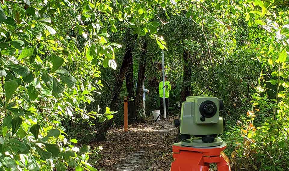
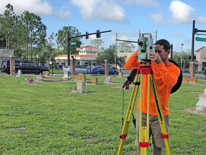
Leveraging the latest equipment and technology, our team of Surveyors, field staff, and survey technicians effectively deliver project design surveys, boundary surveys, right of way mapping, sketch and descriptions for proposed acquisition and easements, topographic survey, and various other surveys. We manage and administer state-of-the-art Global Positioning System (GPS) equipment and computer software to assist with the acquisition of data, computations, and field to finish surveys. Our staff has experience working with both AutoCAD Civil 3D and Microstation/GEOPAK and can deliver a completed survey in either program.
Our team of surveyors has a proven track record of being schedule-driven while providing high-quality surveying and mapping products. We recognize that surveying and mapping often supports production projects and provides rapid response teams to short-term needs. Our team members have been selected for their quality of service, their reputations for responsiveness, and their shared commitment to ensure that our clients will come first, always.
- FDOT Prequalified (8.1, 8.2, and 8.4)
- Boundary Surveys
- Topographic Survey
- Right of Way Survey
- Drainage Survey
- As-built Survey
- Right of Way Mapping
- Sketch and Description
- Platting and Condominium Docs
- Construction Surveys
- Static Scanning
- FDOT Prequalified (8.1, 8.2, and 8.4)
- Boundary Surveys
- Topographic Survey
- Right of Way Survey
- Drainage Survey
- As-built Survey
- Right of Way Mapping
- Sketch and Description
- Platting and Condominium Docs
- Construction Surveys
- Static Scanning
Municipal
Madrid CPWG prides itself on being responsive to our clients and is always “AT THE READY.”
We always want to ensure that we thoroughly understand our clients’ needs and project objectives. We strive to think outside the box and create a cost-effective solution that meets the objectives of the projects and exceeds expectations.
Our staff have experience working with both AutoCAD Civil 3D and Microstation/Geopak and can deliver a completed survey in either program.
Our field crews work 10-hour days, Monday through Thursday. This allows us to keep Friday open for overtime or make-up time during the wet months. We find that working a 10-hour day allows our field crews more time on the job and less travel time. In short, more time on the job and less time paying for travel to and from the job site ensures a timely deliverable and a cost-effective project.
- Boundary Survey
- Topographic Survey
- Drainage Survey
- As-built Survey
- Specific Purpose Survey
- Control Survey
- Right of Way Mapping
- R/W and Parcel Staking
- Sketch and Description
- Legal Description
- Survey Review
- Boundary Survey
- Topographic Survey
- Drainage Survey
- As-built Survey
- Specific Purpose Survey
- Control Survey
- Right of Way Mapping
- R/W and Parcel Staking
- Sketch and Description
- Legal Description
- Survey Review
Department of Transportation
Madrid CPWG is FDOT Prequalified
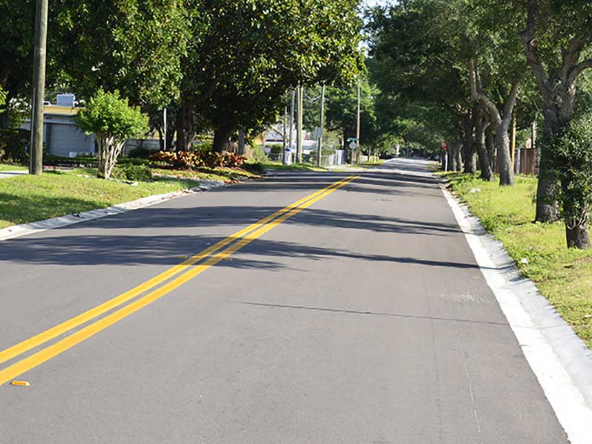
We are FDOT prequalified in 8.1, 8.2, and 8.4 and have experience working within state roadways. Madrid CPWG’s key staff have been working with FDOT on a regular basis over the past 10 years. Our experienced team has a clear understanding of FDOT’s survey requirements and expectations.
The Madrid CPWG team has worked on a wide variety of both minor and major FDOT projects. Their depth of knowledge and experience has helped them to serve in their roles as a direct extension of FDOT District 5 Surveying and Mapping staff as part of an ongoing GEC contract providing as needed surveying and mapping review services
- FDOT Prequalified 8.1, 8.2, & 8.4
- FDOT Certified DBE
- Right of Way Survey
- Alignment Retracement
- Right of Way Mapping
- Design Survey
- Control Survey
- Control Survey Maps
- Legal Description
- Specific Purpose Survey
- GEC Work
- Peer Review
- FDOT Prequalified 8.1, 8.2, & 8.4
- FDOT Certified DBE
- Right of Way Survey
- Alignment Retracement
- Right of Way Mapping
- Design Survey
- Control Survey
- Control Survey Maps
- Legal Description
- Specific Purpose Survey
- GEC Work
- Peer Review
Private Clients
Providing cost-effective survey solutions.
Madrid CPWG employs a full staff of technically qualified professionals to deliver quality survey and mapping services to our clients. Our team stays current on local land development codes, statutes, and platting requirements to provide a survey that is accurate and easy to understand. Our quality assurance process ensures that our American Land Title Association (ALTA) surveys can meet the legal requirements of the title process. Our sketches and legal descriptions of real property, easements, and other features are detailed and accurate. We take pride in every surveying and mapping product that leaves our office.
Our field crews work 10-hour days, Monday through Thursday. This allows us to keep Friday open for overtime or make-up time during the wet months. We find that working a 10-hour day allows our field crews more time on the job and less travel time. In short, we spend more time on the job and less time paying for travel to and from the job site ensures a timely deliverable and a cost-effective project.
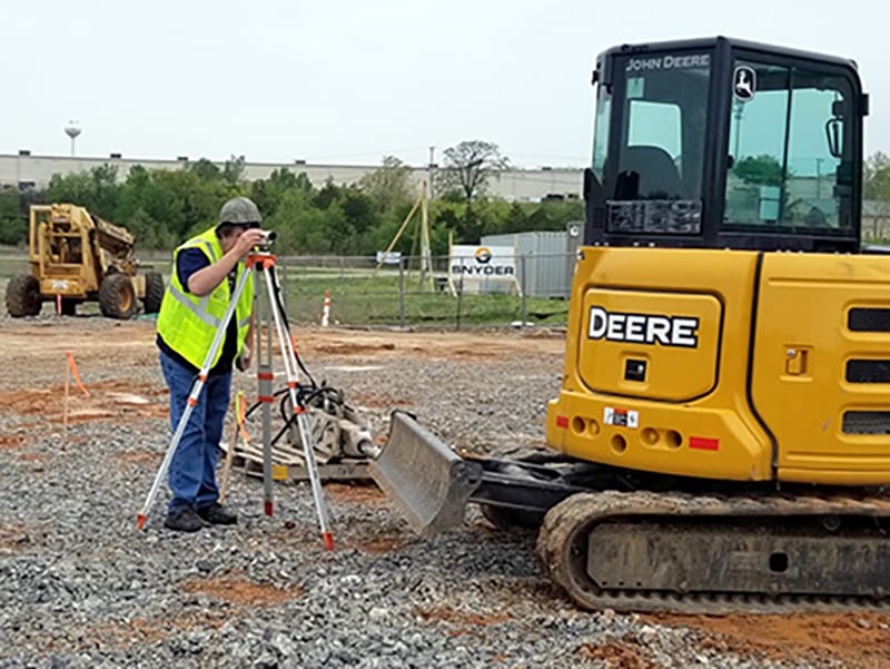
We can support your building, development, or infrastructure construction efforts by performing accurate construction staking and as-built surveys. Our field crews use the latest equipment, tools, and software to ensure we get your survey right the first time. In the office, our experienced staff can review engineering plans to evaluate constructability and identify possible conflicts. Upon completion of construction, we can perform a final condition survey to verify the site or building improvements. Our focus is to help you avoid delays, claims, or cost overruns during the construction process.
- Boundary Survey
- Topographic Survey
- Platting
- As-built Survey
- Condominium Documents
- Tree Survey
- ALTA/NSPS Land Title Survey
- Drainage Survey
- Survey Review
- Boundary Survey
- Topographic Survey
- Platting
- As-built Survey
- Condominium Documents
- Tree Survey
- ALTA/NSPS Land Title Survey
- Drainage Survey
- Survey Review

